|
Written by AARON CASTREJON CityWatch Editor MOUNTAINS - Ground crews continue to make progress on a fire that charred several acres of brush in steep terrain Sunday afternoon.
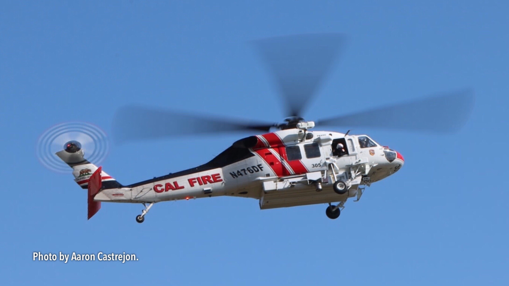
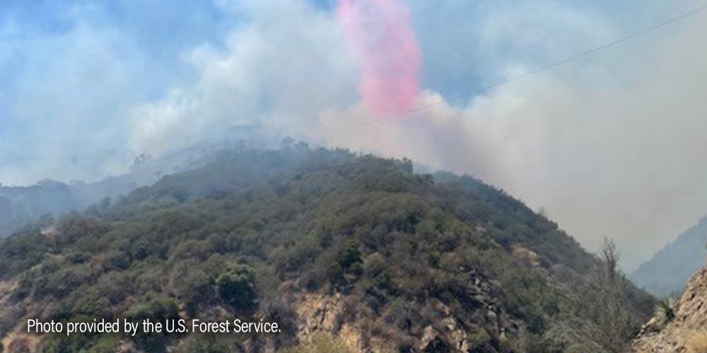
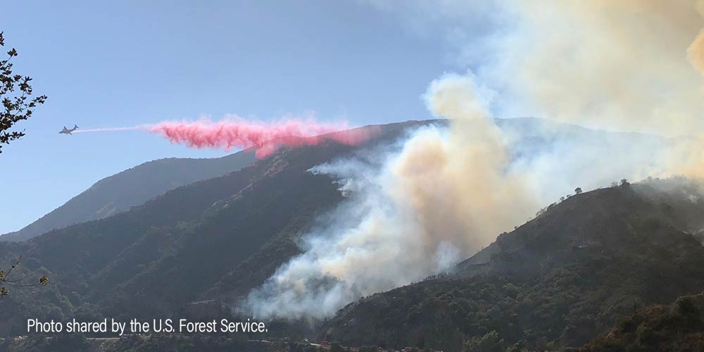
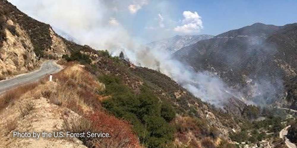
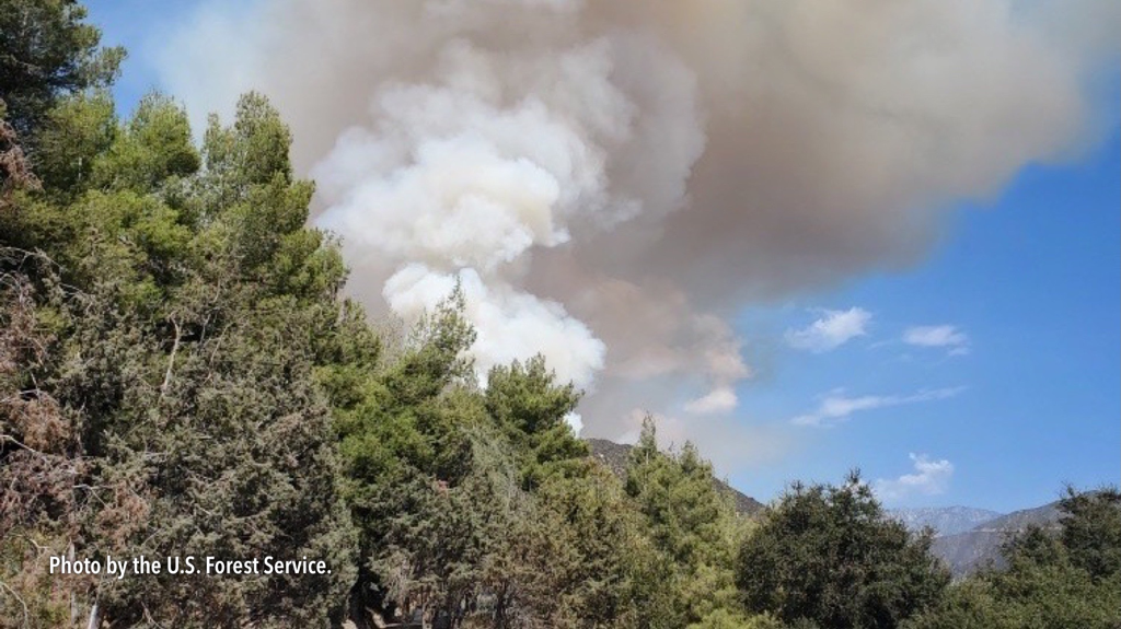
Hot Shot crews with the US Forest Service and crews with the Los Angeles County Fire Department worked on the ground to construct a containment line. Support came from the air in the form of several water dropping helicopters and a plane dropping red Phos-Chek. The fire is 50 percent contained and has burned roughly 5 acres as of Sunday night. Firefighters were dispatched to Santa Anita Canyon Road well into the steep terrain of the San Gabriel Mountains National Monument just after 3:30 p.m., Sunday, July 2. The steepness and remoteness of the terrain made it a challenge to battle the fire. Incidentally, the Chantry Fire ignited in the burn scar of the Bobcat Fire Written by AARON CASTREJON CityWatch Editor UPDATE, 11 a.m.: Firefighters have knocked down the OakWilde Fire and have held it to 1 acre, according to the US Forest Service.
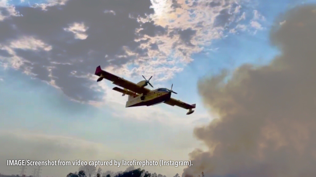
UPDATE, 9:40 a.m.: A woman was extracted from the burning vehicle that ignited the Oakwide Fire burning along Angeles Crest Highway. It is unclear if any other occupants were in the vehicle. MOUNTAINS - An estimated 1-acre brushfire is currently burning deep in the mountains above La Cañada Flintridge after a reported vehicle crash. The vehicle crashed along Angeles Crest Highway near mile marker 30.15. The US Forest Service has responded, along with Los Angeles County Fire Department which is sending a full brushfire response including the Canadian-built Super Scoopers. Written by AARON CASTREJON CityWatch Editor MOUNTAINS – San Gabriel Canyon will be temporarily closed Labor Day weekend due to ongoing fire operations, according to the U.S. Forest Service.
Vehicle, pedestrian, equestrian and all other recreational activity is off limits. The Gulch Fire has burned 113 acres and is 78 percent contained as of Thursday night. There are 98 firefighters remaining on scene, according to the U.S. Forest Service. Highway 39 remains closed from the San Gabriel River Bridge to Crystal Lake Road. East Fork Road remains closed from Highway 39 to Glendora Mountain Road, the latter is closed from the border of Glendora to East Fork Road. Glendora Ridge Road is closed from Mt. Baldy Road to Glendora Mountain Road. The cause of the fire is under investigation. Written by AARON CASTREJON CityWatch Editor MOUNTAINS – Crews worked through the night to gain ground on a stubborn brush fire, the third to scorch the hillsides this week.
The most recent Gulch Fire, which ignited just before Noon August 29, has burned 100 acres near Highway 39 near the San Gabriel Dam. Firefighters have not reached containment on the fire as of Monday night. Highway 39 from the San Gabriel River Bridge to Crystal Lake Road remains closed, according to Caltrans. The East Fire, which ignited near East Fork Road and Glendora Mountain Road August 25, has burned 150 acres and is 93 percent contained. The East Fire remains in its footprint as the remaining 148 firefighters on scene continue suppression and mop-up operations, according to the U.S. Forest Service. A small 40-foot by 40-foot spot fire was quickly snuffed out August 29 by Los Angeles County Firefighters in the hillsides of Glendora right behind Church of the Open Door, 701 W. Sierra Madre Ave. Written by AARON CASTREJON CityWatch Editor MOUNTAINS – The fire burning in the steep terrain of the San Gabriel Mountains National Monument is nearly out, authorities said Sunday.
The East Fire, burning north of the La Verne/Glendora area, is 93 percent contained and has already burned 150 acres, according to the U.S. Forest Service. No evacuations were needed and no structures were threatened by the fire that ignited near Glendora Mountain Road and East Fork Road August 25. East Fork Road remains closed from Highway 39 to Glendora Mountain Road. Glendora Mountain Road remains closed from the City of Glendora to East Fork Road. Glendora Ridge remains closed from Mt. Baldy Road to Glendora Mountain Road. The fire’s cause is under investigation. Written by AARON CASTREJON CityWatch Editor MOUNTAINS - Firefighters continue their assault from the ground and from the air to halt a brush fire burning deep into the mountains above La Verne Thursday.
The brush fire burning near Glendora Mountain Road and East Fork Road has burned an estimated 96 acres. Firefighters have no containment on the fire more than six hours after they were dispatched, according to the US Forest Service. The East Fire is burning away from structures, residents and continues to creep into the wilderness of the San Gabriel Mountains National Monument, according to the US Forest Service. Glendora Mountain Road from the city of Glendora to East Fork Road is closed, as well as Glendora Ridge Road from Mount Baldy to Glendora Mountain Road. The Los Angeles County Fire Department is providing mutual aid assistance. The California Highway Patrol has additionally closed eastbound traffic on East Fork Road from Highway 39 above Azusa. Written by AARON CASTREJON CityWatch Editor PICO RIVERA - Ground crews and aircraft kept a stubborn brush fire from growing beyond 52 acres Friday.
Los Angeles County firefighters and Montebello firefighters worked to contain the blaze that burned near Rosemead Boulevard and Gallatin Road. The Rosemead Fire was reported just after 1 p.m. September 24, according to the Los Angeles County Fire Department. When firefighters arrived on scene, they immediately reported that an estimated three acres had already burned inside the Whittier Narrows wash. Both fire agencies initiated first alarm responses, but eventually a second alarm was requested to the scene. A number of helicopters responded to fight from the air, along with the Super Scoopers leased out of Canada. The Super Scoopers arrived after briefly battling a small brush fire in Glendora. At 6 p.m., the Los Angeles County Fire Department officially announced that forward progress of the fire had been stopped. The cause of the fire is under investigation. Written by AARON CASTREJON CityWatch Editor UPDATE, 9:12 a.m.: Authorities are investigating a possible human aspect to this fire on East Fork Road. A suspect has been detained on an unspecified trail in the area near the fire. the CHP and county deputies are en route to the detained suspect.
UPDATE, 9:07 a.m.: Forward progress on the fire has been stopped at four acres. Aircraft have helped tremendously in keeping the flames from spreading, according to the U.S. Forest Service. MOUNTAINS - The Los Angeles County Fire Department and U.S. Forest Service firefighters are responding to a brush fire along East Fork Road near Glendora Mountain Road above San Dimas. A technician with the US Forest Service reports three to five acres running slowly uphill. The fire was reported around 7:51 a.m. Written by AARON CASTREJON CityWatch Editor MOUNTAINS – Roughly three acres of brush burned in the mountains above Glendora just south of the San Gabriel Reservoir April 28.
The U.S. Forest Service, aided by Los Angeles County Firefighters, extinguished the baby blaze along San Gabriel Canyon Road near mile marker 21.67. County firefighters were dispatched around 11:19 p.m. The fire slowly crept downhill as crews from the ground and from the air worked to douse it. No structures were threatened. The cause is under investigation. Written by AARON CASTREJON CityWatch Editor MOUNTAINS – No structures are threatened by a brush fire burning along Mt. Baldy Road Thursday.
The fire is burning heavy brush near Shinn Road. The fire has burned at least two to three acres and is moving south southwest with a moderate rate of spread, according to the U.S. Forest Service. The fire began burning around 9:45 a.m. The Los Angeles County Fire Department and U.S. Forest Service are on scene with full brush assignments underway, including aircraft. The San Bernardino County Sheriff’s Department is evacuating people around Mt. baldy, the U.S. Forest Service said. |
Archives
January 2024
Categories
All
|


 RSS Feed